|
| *****SWAAG_ID***** | 928 |
| Date Entered | 06/04/2016 |
| Updated on | 06/04/2016 |
| Recorded by | Tim Laurie |
| Category | Burnt Mound |
| Record Type | Archaeology |
| Site Access | Public Access Land |
| Location | Braithwaite Moor, Ewe Lock Spring |
| Civil Parish | East Witton |
| Brit. National Grid | SE 111 851 |
| Altitude | 370m |
| Geology | Spring rise below Lower Follifoot Grit |
| Record Name | Two medium burnt mounds on Braithwaite Moor associated with a high level Bronze Age Cairnfield Settlement |
| Record Description | Two burnt mounds located on opposing banks of a small stream below Ewe Lock Spring. |
| Dimensions | 8m*6m*.5m and 5m dia*.5m |
| Additional Notes | These burnt mounds are located directly below and may be associated with the Bronze Age cairn field type settlement below Strut Steer first recognised by TCL during the 1980's and mapped in 2006 by TCL with Andrew Fleming. The area was revisited more recently by a few SWAAG Members, photographed and recorded as SWAAG Record No 690. |
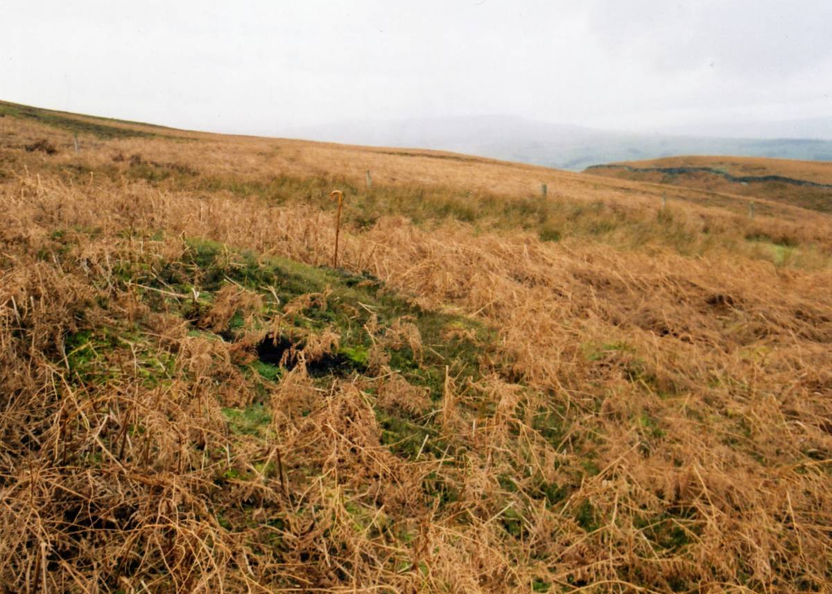
| Image 1 ID | 6754 Click image to enlarge |
| Image 1 Description | The upper of two medium size burnt mounds at Ewe Lock Spring. | 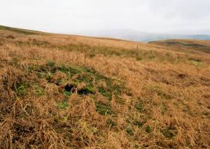 |
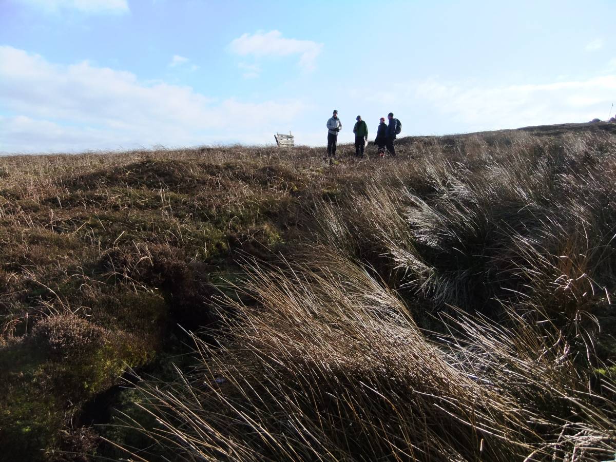
| Image 2 ID | 4075 Click image to enlarge |
| Image 2 Description | The upper of two medium size burnt mounds at Ewe Lock Spring. | 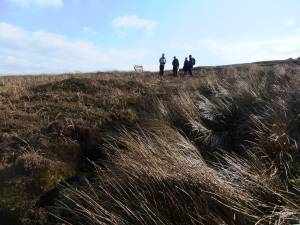 |
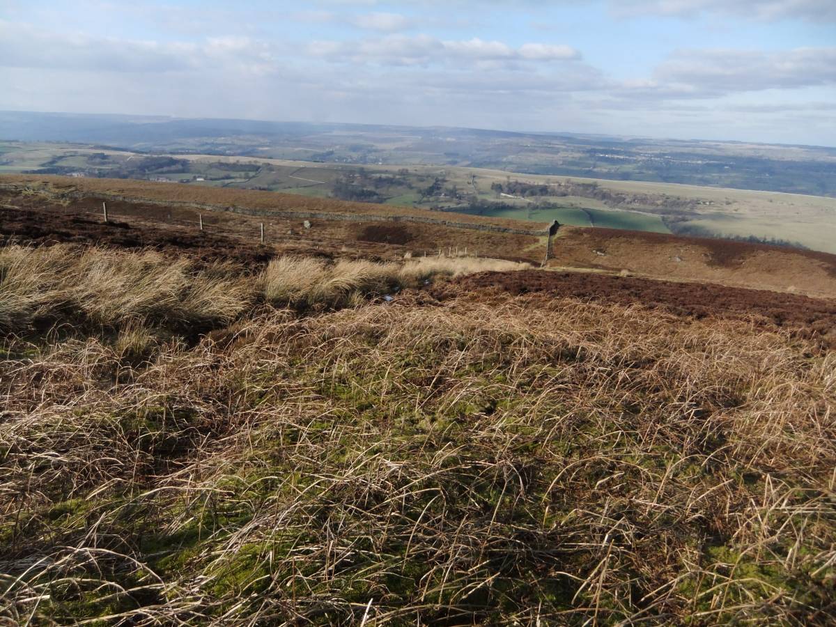
| Image 3 ID | 4076 Click image to enlarge |
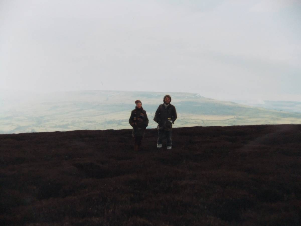
| Image 3 Description | View Northward across Wensleydale from the burnt mound |  |
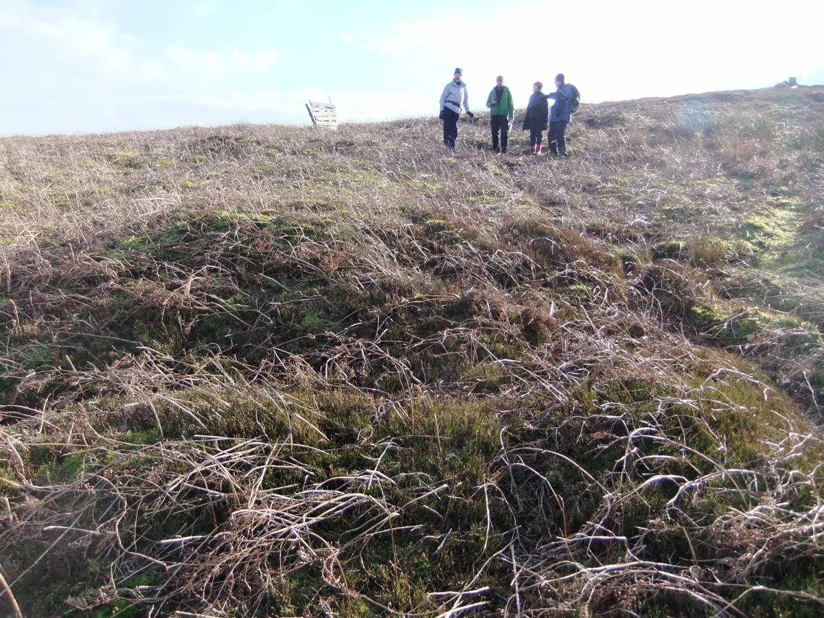
| Image 4 ID | 4077 Click image to enlarge |
| Image 4 Description | The lower and smaller of the two burnt mounds. |  |
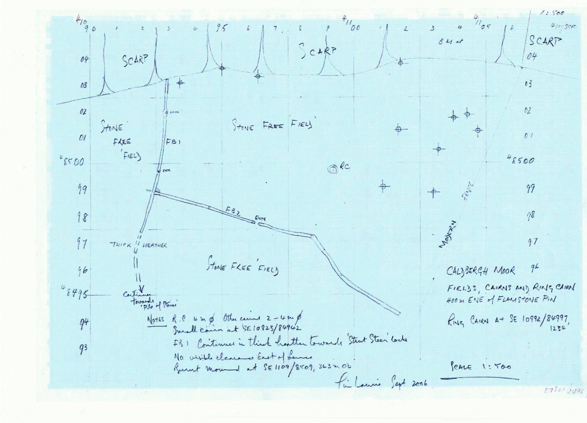
| Image 5 ID | 4079 Click image to enlarge |
| Image 5 Description | Original survey plan of the cairn field settlement(TCL 2006). | 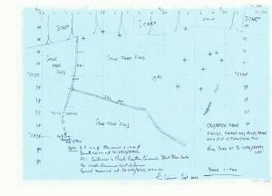 |
| Image 6 ID | 4082 Click image to enlarge |
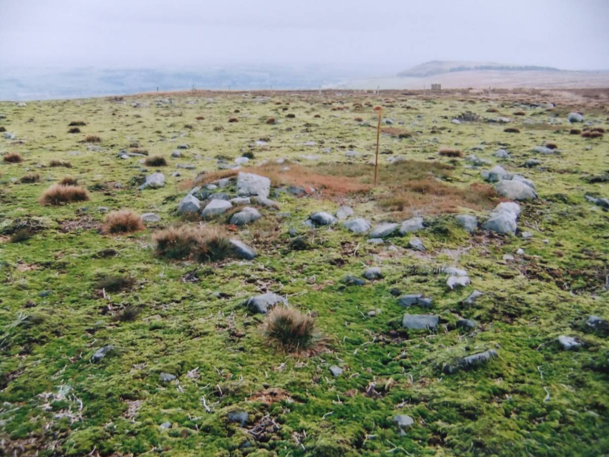
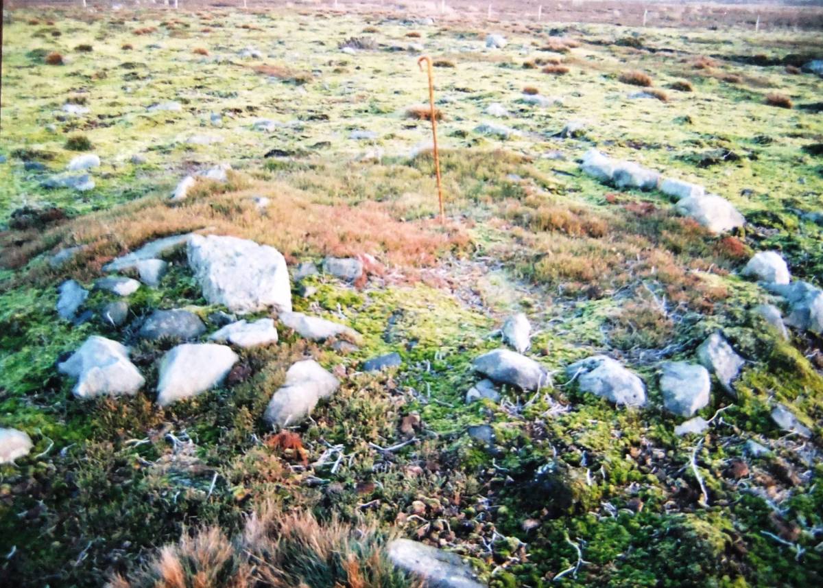
| Image 6 Description | Ring cairn within the cairnfield settlement complex. |  |
| Image 7 ID | 4086 Click image to enlarge |
| Image 7 Description | Ring cairn within the cairnfield settlement complex. | 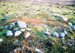 |
| Image 8 ID | 4084 Click image to enlarge |
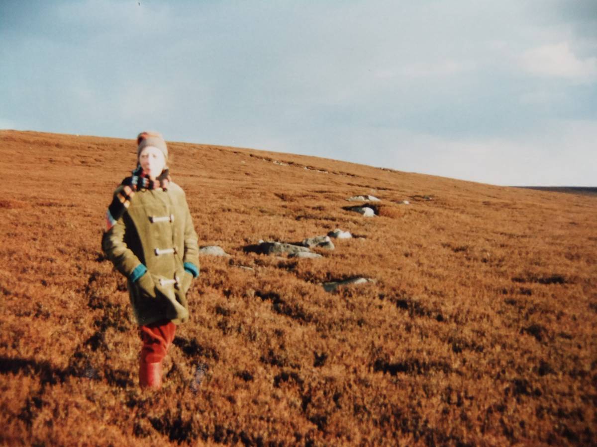
| Image 8 Description | Field bank under heather when first recognised, with EAL. |  |
| Image 9 ID | 4083 Click image to enlarge |
| Image 9 Description | Andrew Fleming with EAL during an early visit in the 1980's to this impressive high level Bronze Age site. | 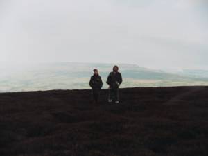 |